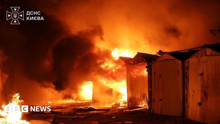

The Bald Range wildfire burning in British Columbia has consumed more than 25,000 acres of landscape, marking a significant expansion driven by what officials described as an extraordinary rate of spread. At one stage, the fire advanced across more than 2,000 acres in approximately a single hour, a velocity that underscores the volatile fire behavior currently challenging suppression crews in the region.
The figure of 2,000 acres per hour represents an aggressive growth metric rarely observed outside of extreme wind-driven events or heavy fuel continuity. Such speed typically overwhelms initial attack resources and forces a strategic shift toward structure protection and perimeter management rather than direct containment. Officials monitoring the Bald Range complex have not released specific details regarding the ignition source or the precise timeline of the high-velocity run, but the acreage total confirms the fire has established a substantial footprint on the land.
British Columbia’s interior terrain, characterized by steep slopes and dense coniferous stands, frequently contributes to rapid fire propagation when aligned with dry weather patterns and localized wind effects. The Bald Range geography presents operational complexities for ground personnel and heavy equipment, often necessitating reliance on aerial tankers and helicopters for retardant drops and bucketing operations to slow the advance. The 25,000-acre benchmark places this incident firmly in the category of a major wildfire event, requiring sustained incident management teams and significant logistical support.
Smoke columns visible from surrounding communities have raised air quality concerns, though specific evacuation orders or alerts tied directly to the Bald Range perimeter have not been detailed in the latest official summaries. Fire information officers typically coordinate with regional districts and emergency management agencies to issue notices when interface zones are threatened. The current priority remains establishing control lines where terrain and safety permit, while monitoring weather forecasts for shifts in wind direction or humidity that could either aid suppression or trigger further explosive growth.
As the incident progresses, the focus will remain on resource allocation across the province’s active fire load. The speed recorded during the 2,000-acre hour serves as a critical data point for fire behavior analysts modeling future progression. Residents in adjacent areas are advised to monitor official channels, including the BC Wildfire Service dashboard and local government updates, for real-time information on fire status, smoke forecasts, and any potential impacts on travel corridors or community safety.